These example datasets are used in the tutorials and command reference examples. Although all of the current examples here are fluvial, the principles and techniques can be applied to a broad range of physiographic settings and situations.
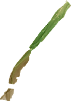
Sulphur Creek, CA
- 300m of gravel bed river near St. Helena California that underwent a flood in December 2005.
- Two surveys
- 0.5m cell resolution
- RTKGPS and Total Station
- Download

River Feshie, Scotland, UK
- 700m braided gravel bed river in the Scottish Cairngorm mountains.
- 5 annual surveys
- Mix of RTKGPS and Total Station
- 1m cell resolution
- Download
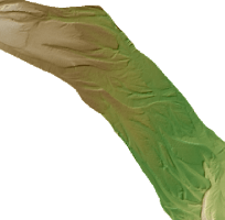
Ngaruroro River, New Zealand
- 31km river on the north island of New Zealand
- Two LiDAR surveys
- 2m cell resolution
- Download
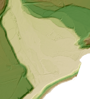
Shotover River, New Zealand
- 2.5km gravel bed, braided river near Queenstown, New Zealand
- Two LiDAR surveys
- 1m cell resolution
- Download
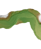
River Dee, Scotland
- 6km of channel near Ballater, Scotland
- Two LiDAR surveys
- 1m cell resolution
- Download
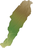
River Rees, New Zealand
- 2km of braided river near Queenstown, New Zealand
- Two LiDAR surveys
- 0.5m cell resolution
- Download Full
- Download Morphological Only