GCD
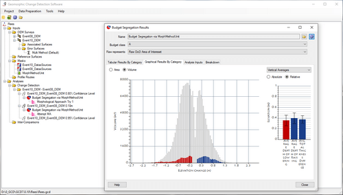
The GCD software was developed primarily for topographic change detection in rivers, but will work for simple, raster-based change detection of any two surfaces. The volumetric change in storage is calculated from the difference in surface elevations from digital elevation models (DEMs) derived from repeat topographic surveys.
GCD is part of the Riverscapes Consortium's much larger family of tools for analyzing riverscapes. GCD is the Riverscapes Consortium's longest-standing, best developed software with the largest user base. GCD has users all over the world.

Download GCD
Download the latest GCD software.
Discover GCD Data
Search the Riverscapes Data Exchange for GCD Projects and related data.
Connect With the GCD Community
Learn about GCD events and participate in GCD user forums.
What's Next for GCD
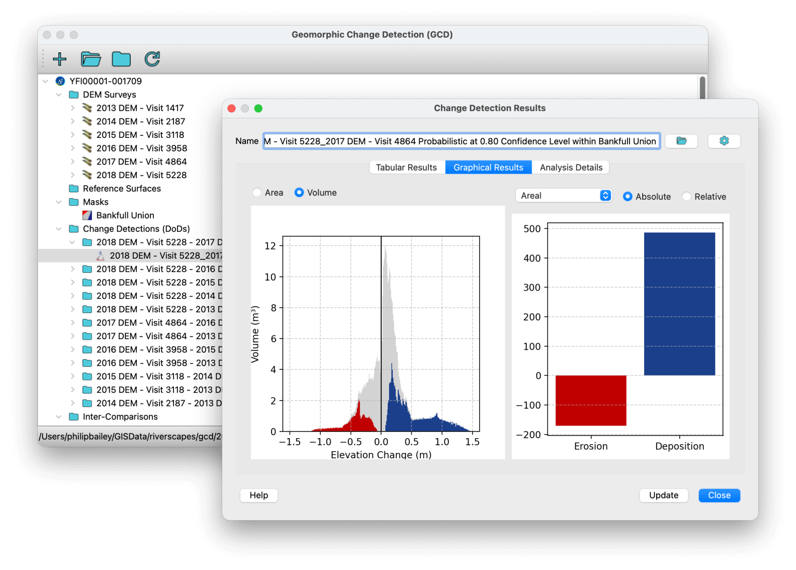
GCD development is ramping up again after a hiatus of several years. We have just released a beta version of a new GCD Viewer for ArcGIS Pro. We are also scoping a new GCD platform in Python. This will mean a new Standalone and plugin for QGIS, as well as developer APIs for incorporating GCD into your own workflows. A mockup of these new tools is shown below.
We are currently seeking funding to support this development. If you are interested in supporting this work, please contact us at support@riverscapes.freshdesk.com.
Citation
If you use the GCD Software, please cite the following publication:
Phlip Bailey, Joseph Wheaton, Matt Reimer, & James Brasington. (2020). Geomorphic Change Detection Software (7.5.0). Zenodo. https://doi.org/10.5281/zenodo.7248344
GCD Research
The methodological development is described in (Wheaton et al., 2010a), the Wheaton (2008) thesis, and the Wheaton et al. (2010b) RRA paper. The Matlab version of the code (DoD 3) is provided as supplemental information with the ESPL paper so that readers can test or extend the code as they see fit for their purposes.
Animated GCD results produced by Prof. James Brasington of the University of Waikato, New Zealand, illustrating changes on the Waiho River, New Zealand.
Note on Terminology
DoD is an acronym for DEM (digital elevation model) of Difference (not Department of Defense). DoDs are derived from repeat topographic surveys and used in change detection studies and morphological sediment budgeting. We use GCD to mean geomorphic change detection, not Glen Canyon Dam.