Example Datasets
These example datasets are used in the tutorials and command reference examples. Although all of the current examples here are fluvial, the principles and techniques can be applied to a broad range of physiographic settings and situations.
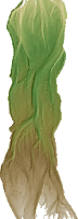
Sulphur Creek, CA
300m of gravel bed river near St. Helena California that underwent a flood in December 2005. Two surveys 0.5m cell resolution RTKGPS and Total Station
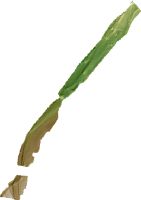
River Feshie, Scotland, UK
700 m braided gravel bed river in the Scottish Cairngorm mountains. 5 annual surveys Mix of RTKGPS and Total Station 1m cell resolution
Ngaruroro River, New Zealand
31 km river on the north island of New Zealand Two LiDAR surveys 2 m cell resolution
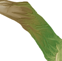
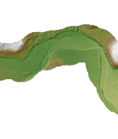
Shotover River, New Zealand
2.5 km gravel bed, braided river near Queenstown, New Zealand Two LiDAR surveys 1m cell resolution
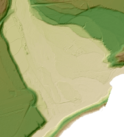
River Dee, Scotland
6km of channel near Ballater, Scotland Two LiDAR surveys 1 m cell resolution
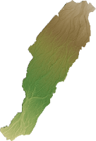
River Rees, New Zealand
2 km of braided river near Queenstown, New Zealand Two LiDAR surveys 0.5 m cell resolution
Zenodo Links
The links above have been transitioned to the latest versions of the data stored in the Riverscapes Data Exchange. The legacy Zenodo links will continue to work: